

CLICK FOR LINK TO PDF OF The Life of William McKinley (1901) – FREE EBOOK
@Fuzzygalore here’s what the sign looked like sometime around 1896. (Ok it is over a 100 years old) pic.twitter.com/Q3fOlJZp7R
— NevadaWolf (@NevadaWolf) November 22, 2013
@Fuzzygalore @FadingAd Found the pic I had taken of that 1896 sign. pic.twitter.com/hemFpWafSz — NevadaWolf (@NevadaWolf) November 29, 2013
@aroundcarson Do you have an equivalent for this pic? Its up Clear Creek, now just beyond the Private property sign pic.twitter.com/yhFWp3FVCL — NevadaWolf (@NevadaWolf) November 29, 2013
@NevadaWolf @FadingAd @aroundcarson Here’s a small gallery of similar ‘rockads’: http://t.co/UsC2bhGab0 #ghostsigns #rockads
— Ghostsigns (@ghostsigns) November 30, 2013
@ghostsigns @FadingAd hehehe I just passed by that Eagle Club one a few days ago in Wilson Canyon outside Yerington. Small world. 🙂
— NevadaWolf (@NevadaWolf) November 30, 2013
The color picture [above] was taken by me, Teri L. The book the black and white photo came out of is called: Remember When: Celebrating the History of Carson City 1858-1950. The picture is located on page 101 and is credited to “Fred Willis Day Collection, Nevada State Museum”.
I first saw the ad when looking for a nearby geocache. The only part that was visible was the top half showing the candidates names and F W Day, but graffiti and the sun had obscured the rest. I didn’t think much of it because the black and yellow sign was still vibrant so it didn’t seem old. The significance didn’t click until I was looking through the Carson City historic photographs book and saw it in full and was able to make out the rest of the sign. Interesting that it says “Bryan or McKinley for President”.
The cliff wall it is on faces northwest and is tucked in a bend of the canyon (completely hidden from the modern road that passes nearby). The election was in 1896, which makes the vibrant colors very impressive if they are original.
A bit of history on Clear Creek Rd…
In the early 1860’s there were two main routes from Carson City to Spooner Summit, King’s Canyon Rd and Clear Creek Rd. In 1861 (1862?) Rufus Walton built a steep dirt path down Clear Creek Canyon, known as the Walton Toll Road. The Lake Bigler (Tahoe) Toll Road Company – owners of the Lake Tahoe Wagon Road – bought Walton’s route in 1863 to connect it to the more developed King’s Canyon route. Until 1875, most traffic went through King’s Canyon though some still favored the other road. In 1875 a flume was constructed to haul lumber from Glenbrook down to Carson City where it would be transported to the mines in Virginia City. The road in Clear Creek was improved and became the main route up and down the mountain. That is until the automobile arrived in 1913 when the King’s Canyon route was linked to the Lincoln Highway. However, that route remained only a graded dirt road and in 1927 the Nevada Highway Department paved and improved the Clear Creek route for use as the new US Highway 50. It remained the primary route, once again, until the modern highway was built in 1957, completely realigned and widened in anticipation of the 1960 Olympics in Squaw Valley.
Hope that helps somewhat to place the painting into its correct context. The two routes are so intertwined I had to research when each was used as I could only find reference to Clear Creek after 1928, which didn’t make sense if the election was in 1896. And most books and articles say King’s Canyon was the main route until 1875. There is a gap between 1875 and 1913 when the Lincoln Highway connected Carson City to Spooner Summit via King’s Canyon. I know the flume was constructed down Clear Creek and found that date to be 1875. Since that construction coincides with the decline of traffic on King’s Canyon, I can only presume that access was improved since lumber was the biggest business in the region due to the mines of the Comstock. – Teri L, November 29, 2013

Nevada Milepost – Spring 2011 – Nevada’s Technology Transfer Quarterly Vol. 23 No. 1

Ad taken from ‘Dainties’ Union Cook Book – Bancroft Library – University of California

taken from Artemisia Yearbook 1904 – CLICK FOR LINK
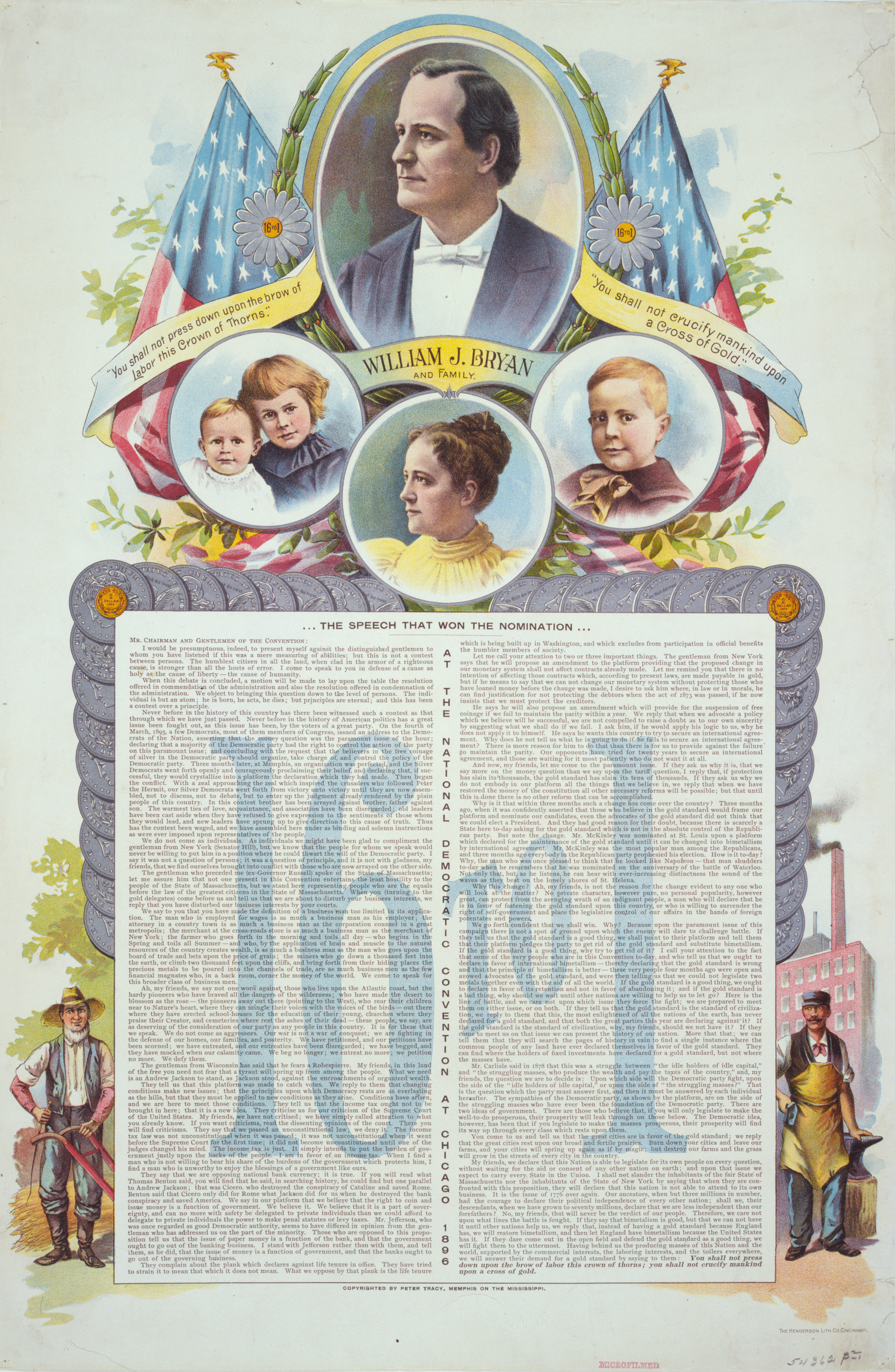
William J. Bryan – McKinley’s Presidential Opponent – CLICK FOR LARGER IMAGE © Wikipedia Commons

Future president William McKinley at age 15., c. 1858
– from The Life of William McKinley (1901) by Oscar King Davis,
p. 1 – Wikipedia Commons – CLICK FOR LARGER IMAGE

Leon Czolgosz – McKinley’s Assassin – CLICK FOR LINK – Wikipedia Commons


